What Happened
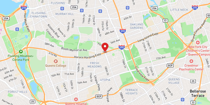
All westbound lanes of Interstate 495 were blocked by flooding in Queens County on Saturday, July 18, 2026, in what officials classified as a major incident on one of the region’s most heavily traveled highways. The complete closure halted westbound traffic across the full width of the roadway, forcing drivers to a standstill during what became a widespread weather emergency along the Long Island Expressway corridor.
The flooding on the westbound LIE was not an isolated event. Long Island Traffic’s incident database recorded at least four separate flooding incidents on I-495 on the same date, ranging from moderate to major severity, along with at least two separate crashes — a moderate-severity crash and a minor crash — also recorded on I-495 on July 18. The clustering of events suggests a significant rain event inundated multiple sections of the expressway in a short window of time.
Police have not yet confirmed the specific mile marker or exit number where this particular all-lanes blockage occurred, nor have they released information about any vehicles disabled in the floodwater. The duration of the closure and the agency that responded to clear the roadway were not specified in the initial incident record.
Location & Road Context
Interstate 495 — the Long Island Expressway — is the primary artery linking Long Island to Midtown Manhattan, carrying hundreds of thousands of vehicles daily through Queens before entering the Midtown Tunnel. A complete westbound closure in Queens is among the most consequential traffic events possible for the region, as it cuts off the main highway path into the city and pushes diverted traffic onto parallel corridors including the Grand Central Parkway, Northern Boulevard, and Queens Boulevard.
Long Island Traffic’s database lists 1,754 recorded incidents on I-495, underscoring the highway’s status as the single most incident-prone road tracked in this system. Queens County’s incident log contains 175 recorded accidents, and the concentration of five flooding-related entries on a single day reflects how severely the roadway can be affected when storm drainage is overwhelmed. Three additional flooding incidents from the same day — one major and two moderate severity events — were logged on I-495 within the same reporting period.
Broader Impact
Flash flooding on depressed or below-grade highway sections — a design feature present at several points along I-495 in Queens — can cause rapid and dangerous water accumulation, leaving little warning time for drivers. Motorists who drive into flooded roadways risk stalling, loss of vehicle control, and, in severe cases, being swept off the road. New York State emergency management guidance consistently warns that as little as six inches of moving water can knock a person down, and two feet can float most passenger vehicles. Drivers caught in sudden highway flooding are advised to turn around rather than attempt to pass through standing water, and to activate hazard lights immediately if forced to stop on the roadway.