What Happened
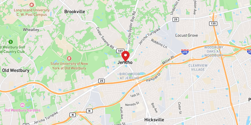
Flooding on NY 25 in Nassau County triggered the closure of two right lanes in both directions on Saturday, July 18, 2026. The water-related incident was classified as minor in severity, and no injuries were reported. The lane closures affected traffic flow along one of Nassau County’s most heavily traveled surface roads during what is typically a high-volume summer weekend travel day.
No additional details — such as the specific hamlet or cross-street where the flooding was concentrated, the time of onset, or the responding agency — were available in the incident record at the time of publication. The two right lanes in each direction remained affected while conditions were assessed.
NY 25 carries a heavy mix of local and through traffic across Nassau County, making even minor lane reductions capable of producing significant queuing on a Saturday in mid-July. Drivers traveling through the affected stretch were urged to use caution, reduce speed approaching standing water, and be prepared for merging traffic.
Location & Road Context
NY 25 — known along various stretches as Jericho Turnpike, Northern Boulevard, and Middle Country Road — is one of the primary east-west surface arterials crossing Nassau County. The corridor is among the most incident-prone roads on Long Island, with 310 recorded incidents in the Long Island Traffic database for this route alone. Nassau County as a whole accounts for 860 recorded accidents in the same database, underscoring the density of traffic activity in the region.
The road sees consistent incident activity: in the 24 hours surrounding this flooding event, Long Island Traffic logged a crash on NY 25 on July 17, rated moderate in severity, as well as multiple roadwork closures on the same corridor. A moderate crash on the Southern State Parkway and two moderate crashes on I-495 were also recorded in Nassau and Suffolk counties within the same 24-hour window, pointing to a busy and challenging travel period across Long Island.
Broader Impact
Summer storm flooding on surface roads like NY 25 can deepen rapidly and pose risks that are not immediately visible to approaching drivers. Standing water that appears shallow can conceal road damage or reach vehicle undercarriages without warning. Nassau County’s relatively flat terrain and aging stormwater infrastructure in older commercial corridors along NY 25 can slow drainage following heavy rainfall, prolonging lane closure durations beyond the initial response. Drivers are reminded that upcoming overnight closures on the LIE and Sunrise Highway are also in effect beginning this week, adding to cumulative detour pressure on alternate surface routes including NY 25.